
Lake and River Short Ennerdale Route
Trail Summary:
- Ride Time: Under an hour
- Ride Distance: 4912 m
- Ride Climb: 85 m
- Ride Descent: -85 m
-
Route Starts from: Ennerdale Mountain Biking Trails
PDF Map Download
Don’t forget a Map, GPS and Guidebook!


Ride Details
The Lake and River Short Route at Ennerdale is a short cylce on forestry tracks along the north shore of Ennerdale Water. It makes an ideal route to get the kids used to riding on trails ad it’s only 2km to the end of the lake where you can stop for a snack or a picnic before returning the 2km back to the car.
Lake and River Short Route at Ennerdale Route- Enjoy a short 5km ride up to the Irish Bridge across the River Liza, play pooh sticks, have a paddle, a picnic
and ride back.


Featured Image Credit: Photo by Bulletma9net on Foter.com / CC BY-ND
Ride Map and Elevation Profile
Download file for GPSRemember that you can download the GPX File for the MTB route above and use in your GPS device or on your favourite mapping app. We’ll have a run down of how to use GPX files on your MTB route soon.
Base Summary: Ennerdale Mountain Biking Trails
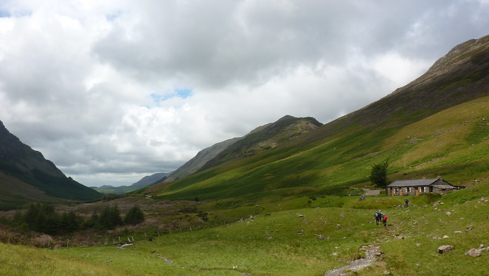
Ennerdale can be found to the North West of the Lake Distrct National Park, near Whitehaven. Its a relatively unspoilt valley, with no facilities for tourists and is usually visited by the walker, mtbiker and occasional Coast to Coaster.
While there are no purpose built technical trails to be found, there are a number of bridleways off the fells that offer some exhilarating singltrack descents. The official routes explore either side of the wooded valley, a wilderness worth exploring.