
Tough at the Top
Trail Summary:
- Ride Time: Allow 5 hours plus.
- Ride Distance: 56366 m
- Ride Climb: 1245 m
- Ride Descent: -1247 m
-
Route Starts from:
This route starts from the Bod Petryal car park (which is on the B5105). Grid reference: SJ 036513. Parking is free.
PDF Map Download
Don’t forget a Map, GPS and Guidebook!


Ride Details
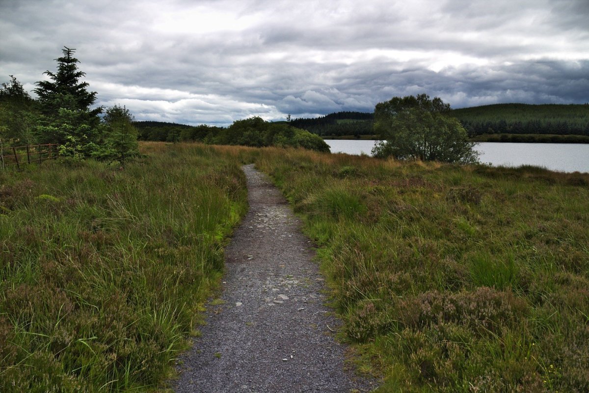
Tough at the Top is a long cycling route, requiring plenty of stamina more akin to road cycling than your usual trail centre route. There are a few technical descents towards the end that provide something for MTB riders to look forward to. While the route starts from the Bod Petryal car park, you can also start this from the Llyn Brenig Visitor Centre, Cyffyllog or Alwen Reservoir if needed.
Ride North Wales describe Up to the Lake as a …
Taking you from the picturesque lake at the sheltered Bod Petryal picnic site right up to the exposed moorland that surrounds Llyn Brenig. With almost 1500m of climbing to endure, you’ll really appreciate the tremendous singletrack descents towards the end of this ride; they really do make all the effort worthwhile.
http://www.ridenorthwales.co.uk


Ride Map and Elevation Profile
Download file for GPS
Remember that you can download the GPX File for the MTB route above and use in your GPS device or on your favourite mapping app. We’ll have a run down of how to use GPX files on your MTB route soon.
Base Summary: Mynydd Hiraethog Mountain Biking Routes
Mynydd Hiraethog is an area of high moorland between Snowdonia and the Clwydian hills that is reasonably flat once you get up there! Adding to the interest are the reservoirs of Brenig and Alwen, as well as the forestry. For such a man made landscape, the routes are not manufactured and may invovle a bit of map work to find your way around.